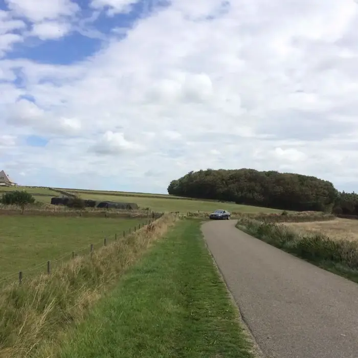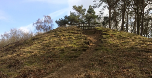


Hoge Berg (or "The High Mountain" in english) is the oldest and tallest elevation on Texel, reaching about 15 meters above sea level, positioned between Den Burg and Oudeschild. This hill of boulder clay formed approximately 140,000 to 150,000 years ago during the Saale glaciation period, when glaciers deposited large amounts of clay, gravel, and rocks, shaping moraines in the area. The landscape is notable not only for its height but also for its traditional "tuunwallen" (sod walls), typical small barns called "schapenboeten", and small water features known as "kolken", which illustrate centuries of local agricultural practice. Many of the barns still exist and serve to protect livestock from strong winds. The surrounding pastures, defined by restored sod walls, create a distinctive and ecologically significant environment unique in the Netherlands. Hoge Berg has been officially designated as an Icon Landscape in recognition of its cultural and historical importance.
Archaeological and Historical Findings
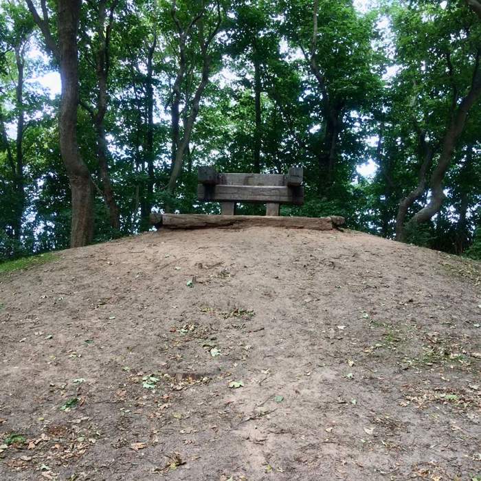
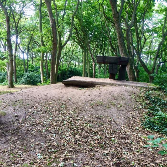
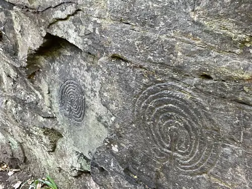
Research and historical records confirm that Hoge Berg’s core is a result of glacial activity during the Saale glaciation, making it a geological rarity in the region. The oldest farming practices on Texel are evident here, with sod walls traditionally used to mark land boundaries, compensating for the lack of wood suitable for fencing and the difficulty of digging ditches on inclined land. Sheep farming has played a vital role in the local economy for many centuries, supported by the sheep pens that provide shelter in open fields. Between the 16th and 19th centuries, the nearby Texel Roads, a harbor area for commercial and naval ships, boosted local wealth, with many farms supplying these vessels. Surveyor Leendert den Berger, active in the late 1700s, contributed to the upkeep and expansion of dikes, waterways, and farmland near Hoge Berg. Informative signs along the trails share details about archaeological discoveries and historical developments, enabling visitors to engage with the area’s rich past.
Accessibility and Visitor Information
Explorations of Hoge Berg can begin at several nearby points, including the Schapenboerderij (Sheep Farm) or the Kaap Skil museum area, which serve as informal entry points to the landscape. From these sites, visitors can reach the main boulder clay plateau and archaeological features via marked trails ranging from roughly 300 to 800 meters. The paths are well maintained, passing over gently sloping terrain suitable for walkers and cyclists, though the natural hilly ground may be uneven and less accessible for those with limited mobility. There are no steep stairways, but it is advisable to wear sturdy shoes or use a bike with suitable tires. Access to Hoge Berg for walking or cycling is free of charge; however, certain farm sites or the nearby Insect Reserve De Zandkuil may require an entrance fee.