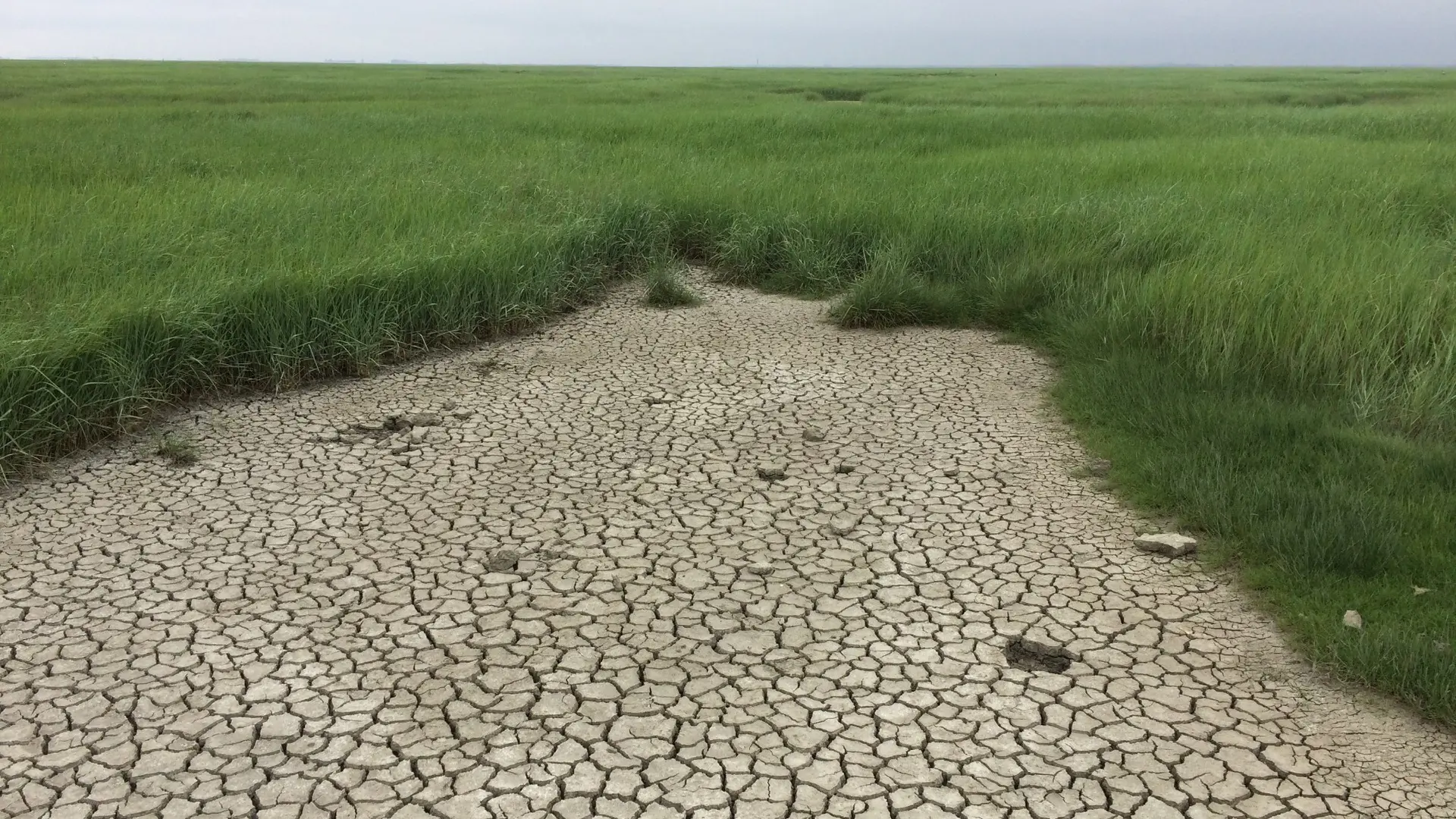
In the Flooded Land van Saeftinghe, medieval villages lie beneath shifting mudflats and salt marshes along the Scheldt.
Pull on your boots, time the tide, and venture into a landscape that never looks the same twice.
National Natural Reserve & UNESCO Global Geopark Schelde Delta.
Era:
Medieval inhabitation from the 11th to 16th centuries CE; transformation into tidal marshland mostly from the 14th century onward, with the current ecosystem about 600–900 years old.
Primeval landscape - nature, space, and infinity
The accessibility of this location is good (green) or somewhat limited (red)
Is the location still in good condition, or has it deteriorated due to the passage of time.
Is the location very atmospheric (red), neutral (orange), or rather raw and cold (green).
Truly worth the journey
View map
Switch between map view and image view to choose how you want to explore the locations.
2
Flooded Land of Saeftinghe
Covering about 36 square kilometers of mudflats, salt marshes, and tidal channels in eastern Zeeuws-Vlaanderen, Zeeland, the Flooded Land van Saeftinghe is one of Europe’s most dynamic tidal nature reserves. Positioned along the Scheldt River, it undergoes continuous change: at high tide, the marshes flood, while at low tide, vast stretches of mudflats reveal salt-marsh vegetation. Roughly 30% of the area consists of sandbanks and tidal creeks, with the other 70% covered by salt-tolerant plants and grasses, dotted with exposed peat layers from ancient deposits. This rugged, stark landscape features vegetation specially adapted to brackish water, creating an environment that is both challenging and strikingly beautiful.
Continue reading — for members
Archaeological and historical findings
Accessibility and visitor information
Area guides
Read the full story of Flooded Land of Saeftinghe
Get access to the full story, practical information and deeper experiences.
Discover all exclusive locations and in-depth content from Gofinestera.
Church of Our Lady
Onze-Lieve-Vrouwe Kerk blends Romanesque origins, Gothic grandeur, and vivid medieval murals beneath its rebuilt sandstone tower.
Wander inside, trace centuries in stone and color, and discover Sint-Truiden from a new perspective.
The Hurler Stone Circles
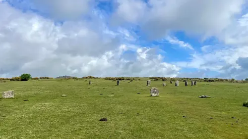
Three ancient stone circles stand where legend says men once played on a Sunday and were turned to stone. Wander the wide moorland, count the stones (if you can!), and feel the echo of a Bronze Age crowd beneath the Cornish sky.
Hill of Tara
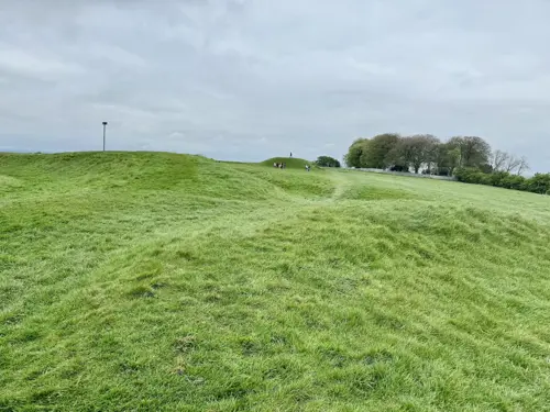
The Hill of Tara weaves together Neolithic tombs, vast ceremonial earthworks, and the legendary Stone of Destiny.
Walk the ridge, trace ancient boundaries, and feel the power of this iconic landscape.
Burial mounds De Regte Heide
The Regte Heide mixes open heathland, forest paths, and 3,000-year-old landmarks.
Perfect for curious walkers and weekend explorers!
Woodhenge
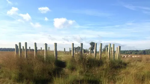
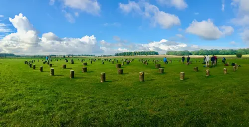
Six rings of ancient posts trace a solstice-aligned circle in open Wiltshire fields.
Step inside the rings and start connecting the ancient dots.
Isterberg
At Isterberg, exposed sandstone cliffs meet woodland and farmland, shaped by geology and centuries of use.
Walk the ridge, climb the tower and enjoy the wide cross-border views.
Kernhem House and Estate
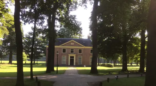
The estate’s grand halls and wooded paths invite both art lovers and nature walkers alike.
Follow the trails, enjoy the gardens and escape from everyday life.
The Luttenberg
Luttenberg’s soft hills lead to forests, open meadows, and local crafts worth stopping for.
Come for the view. Stay for the charm!
House of Viviane (Hotié de Viviane)
The Hôtié de Viviane is a rare Neolithic burial chest on the Rauco heath, high above the Val sans Retour.
Take the forest trail and explore this unusual prehistoric landmark!
Le Val sans Retour
Red schist cliffs, forest trails and Arthurian landmarks bring geology and folklore together in one extraordinary valley.
Take the trail and uncover Brocéliande’s most famous stories!