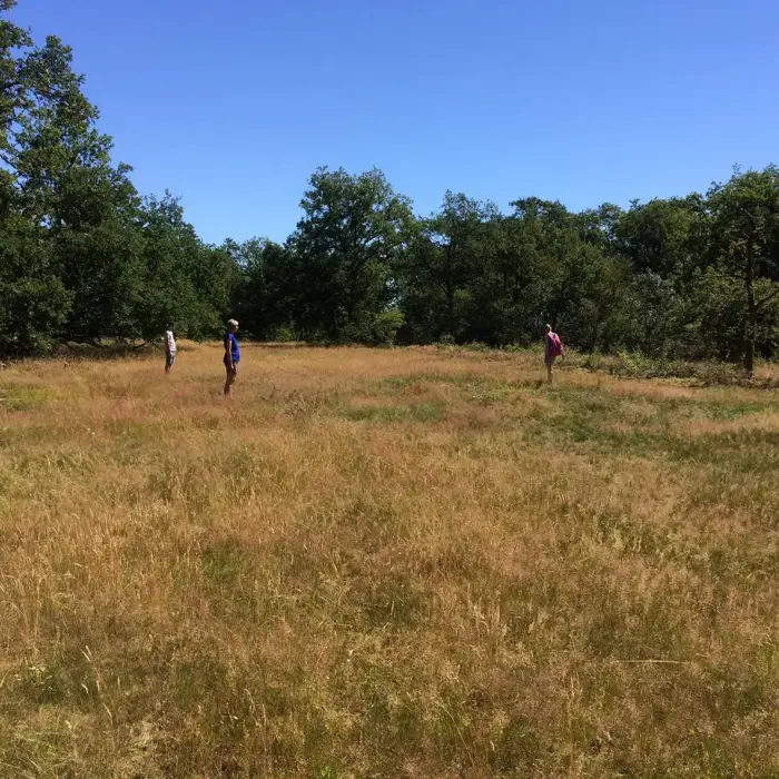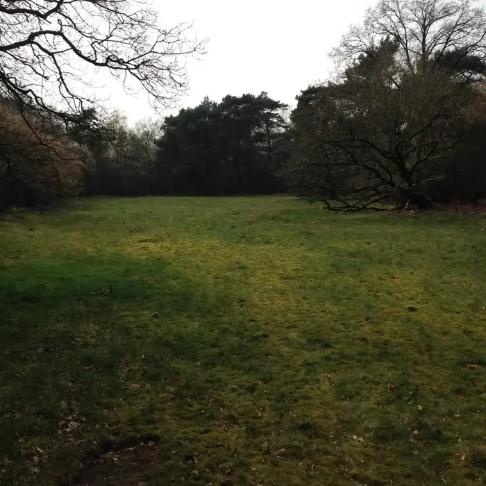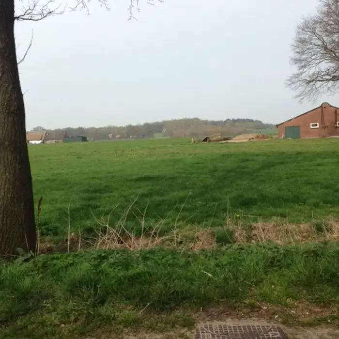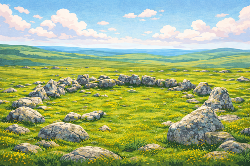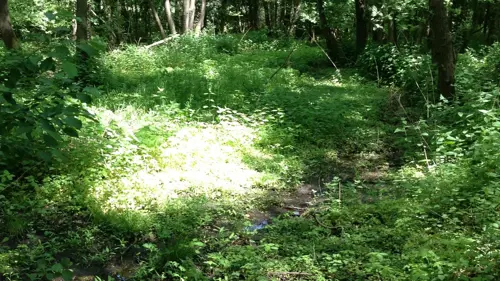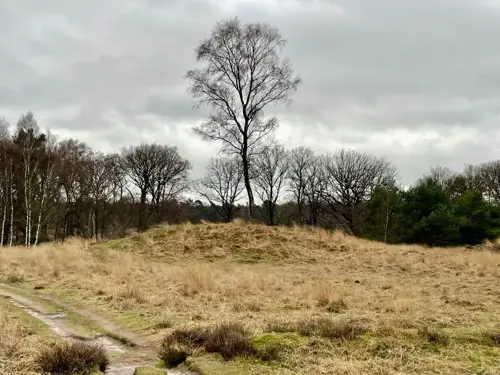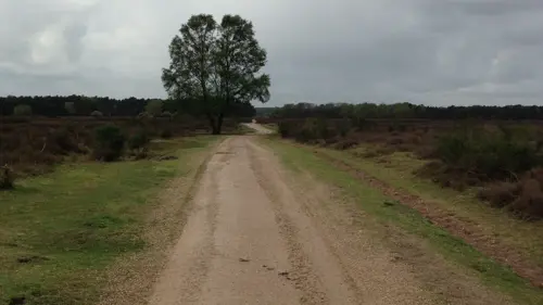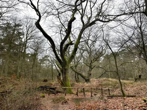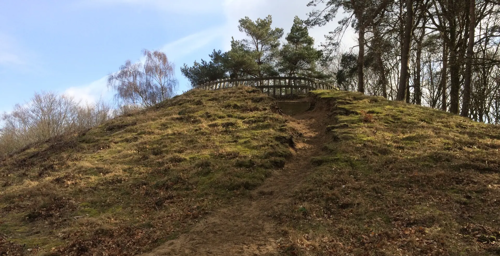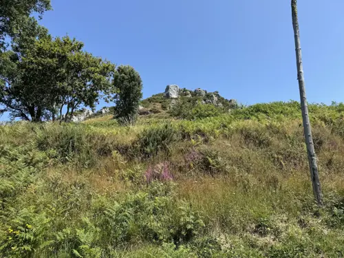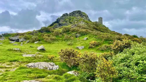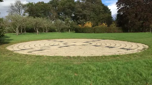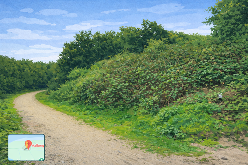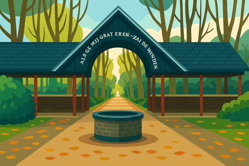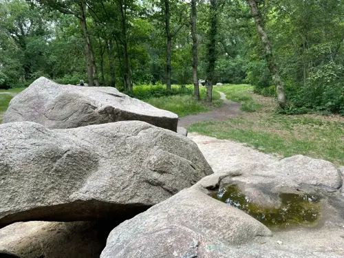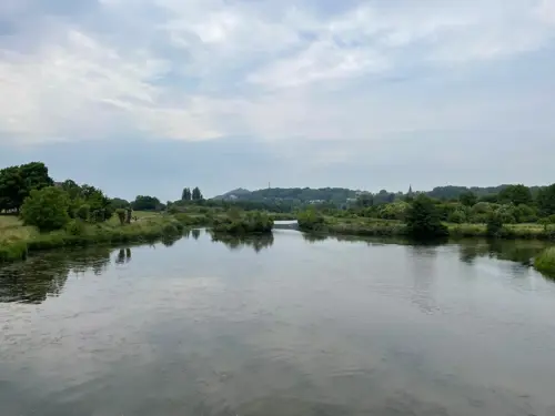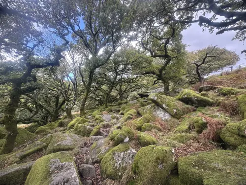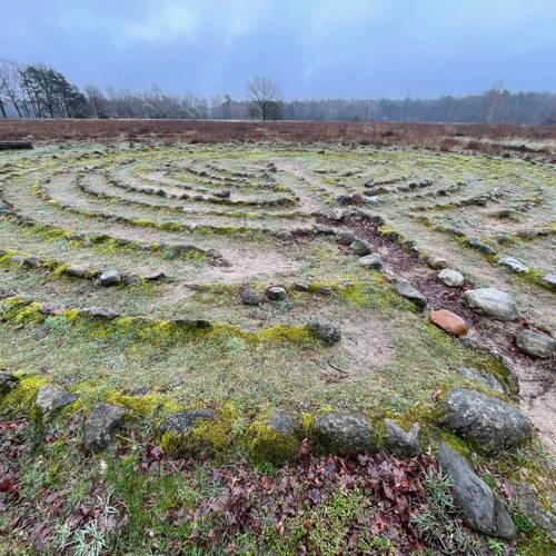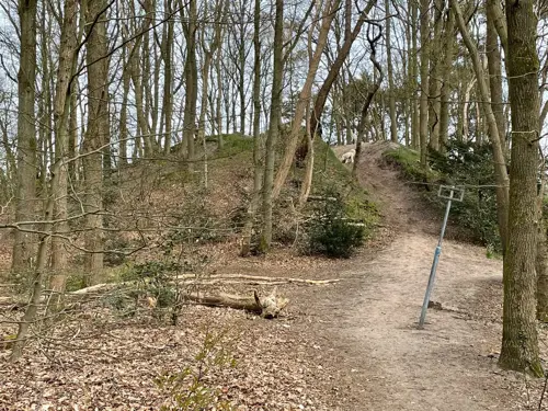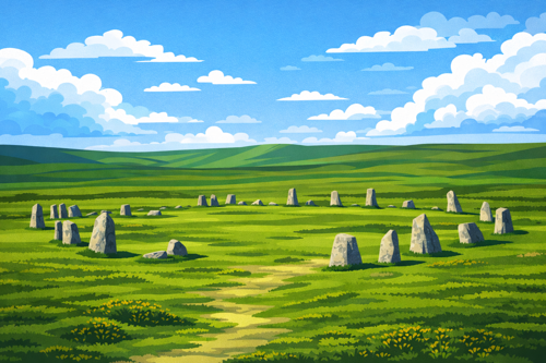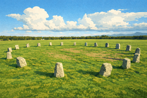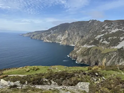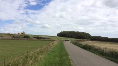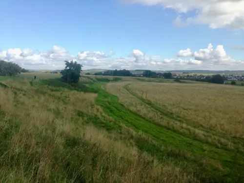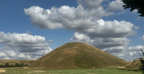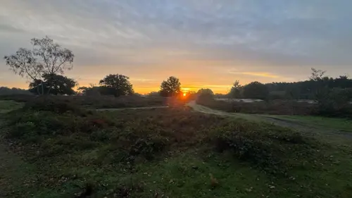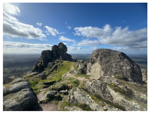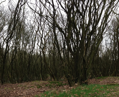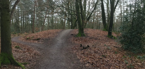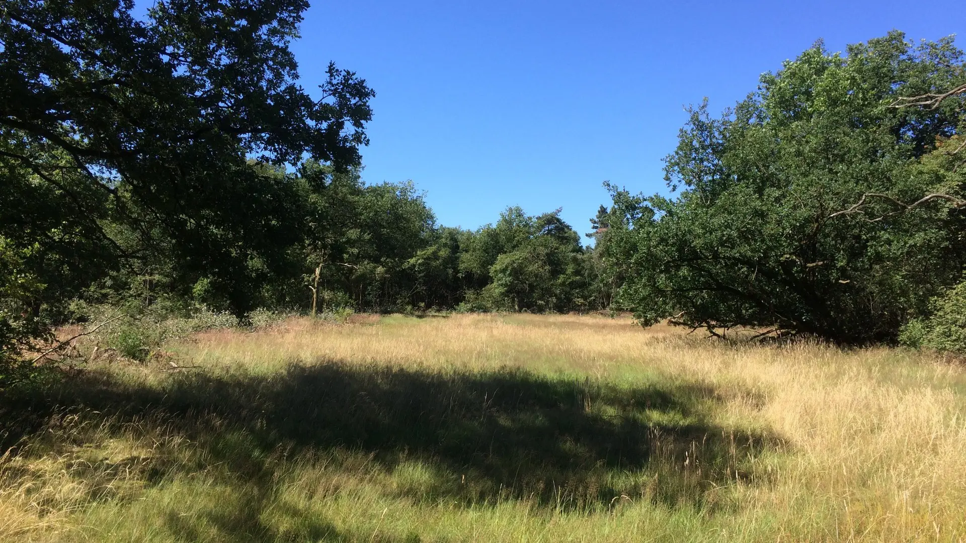


De Luttenberg is part of the Sallandse Heuvelrug landscape, which consists of a series of low hills including nearby elevations such as the Lemelerberg and Holterberg. This area is surrounded by forests, farmland, and the valley of the Regge River. In 2021, a labyrinth was added to the site, alongside a historic cattle track known as a veedrift, measuring roughly 400 meters and bordered by oak vegetation. The location serves as a scenic route for cyclists and walkers within a region characterized by dairy farming..
Archaeological and Historical Findings
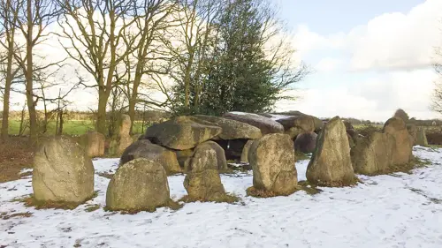
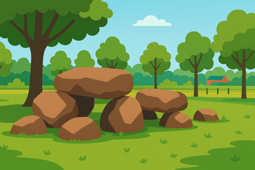
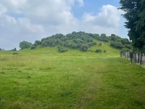
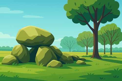
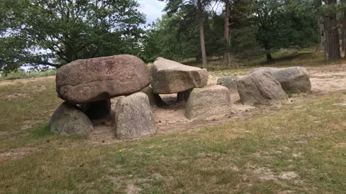
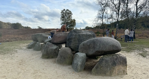
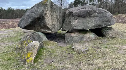
There are no specific archaeological excavations, remains, or building materials directly associated with De Luttenberg itself. However, the wider Luttenberg area has evidence of pre-Roman settlement, including the discovery of a Late Bronze Age bronze spearpoint dating from approximately 1100 to 800 BCE, found in 1966 near Brandweg in Luttenberg. Historical records about the village mention a fortified manor house (havezate) from the 14th century, first documented in 1318, with the possibility that it existed earlier, potentially prior to the 11th century. The hill tiself geologically forms part of an ice-pushed ridge (stuwwal) created during the last ice age, with surrounding landscapes consisting largely of wind-blown sand deposits.
Accessibility and Visitor Information
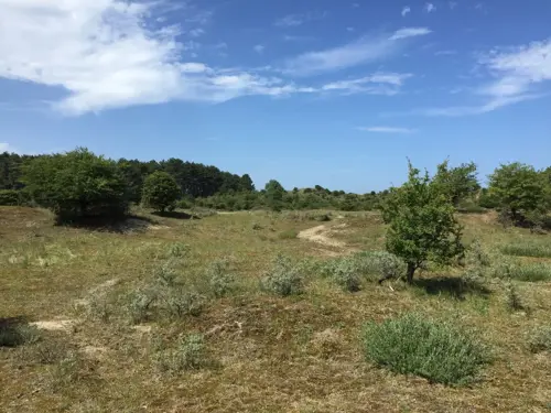
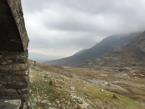
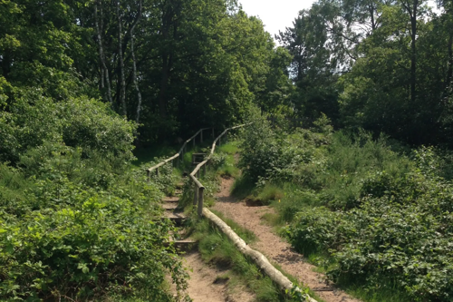
Visitors can reach De Luttenberg from the center of Luttenberg via local roads. The labyrinth is situated on the hill near the Korbeldsweg sand path. Trails through the area vary between flat and gently sloping and pass through wooded and open hill terrain. The site is open year-round without an admission fee.