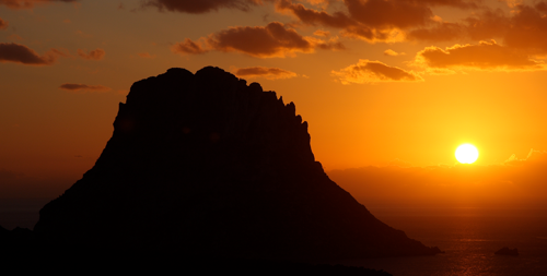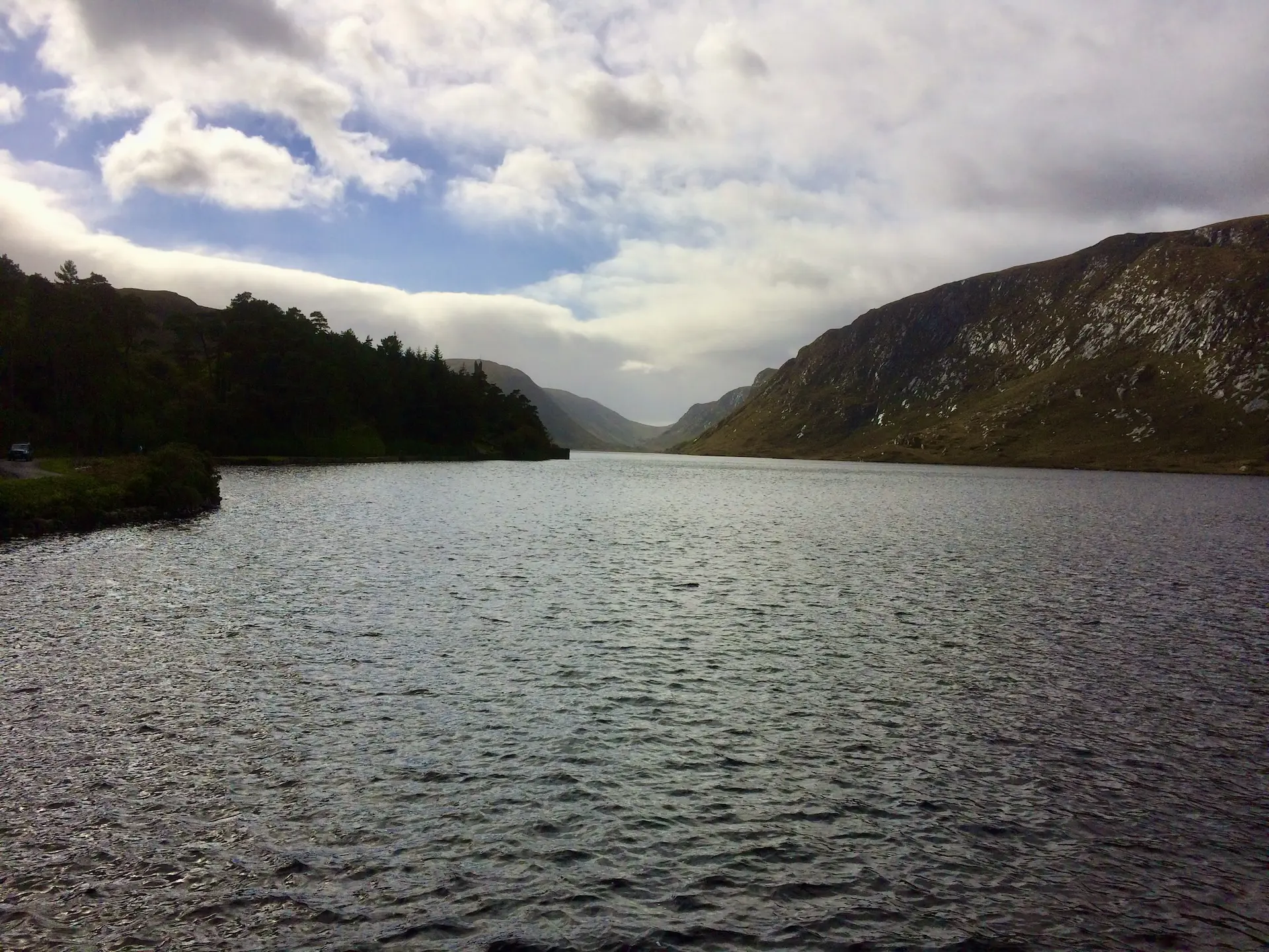
Glenveagh’s moorlands, mountains, and lake create a setting where red deer roam and eagles return.
Choose your trail, follow the lake, and explore it your way.
Modern era, established 1984 CE (41 years old as a national park; landscape formed over millions of years)
Area with high natural and/or landscape value
Is the location still in good condition, or has it deteriorated due to the passage of time.
Is the location very atmospheric (red), neutral (orange), or rather raw and cold (green).
View map
Switch between map view and image view to choose how you want to explore the locations.
2
Glenveagh National Park
Glenveagh National Park is situated in the heart of County Donegal and covers approximately 16,000 hectares (around 170 km²), making it one of Ireland’s largest national parks. The landscape is dominated and defined by the Derryveagh Mountains and Lough Veagh (Lough Beagh), an elongated freshwater lake that runs through the centre of the park. Steep slopes, bare rocks and vast heathlands characterise the landscape, whilst native woodlands and the landscaped gardens around Glenveagh Castle line the shores of the lake. The park forms part of the rugged, mountainous landscapes of north-western Ireland. Errigal Mountain, Muckish Mountain and the Poisoned Glen are other notable features of the area.
Continue reading — for members
Archaeological and historical findings
Accessibility and visitor information
Area guides
Read the full story of Glenveagh National Park
Get access to the full story, practical information and deeper experiences.
Discover all exclusive locations and in-depth content from Gofinestera.
Church of Our Lady
Onze-Lieve-Vrouwe Kerk blends Romanesque origins, Gothic grandeur, and vivid medieval murals beneath its rebuilt sandstone tower.
Wander inside, trace centuries in stone and color, and discover Sint-Truiden from a new perspective.
The Hurler Stone Circles
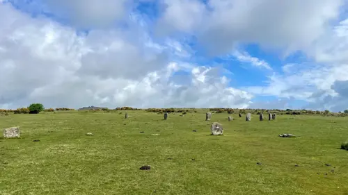
Three ancient stone circles stand where legend says men once played on a Sunday and were turned to stone. Wander the wide moorland, count the stones (if you can!), and feel the echo of a Bronze Age crowd beneath the Cornish sky.
Hill of Tara
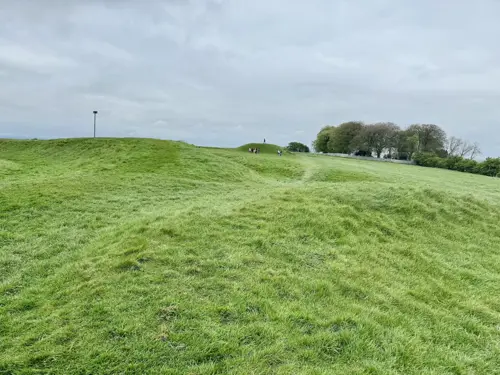
The Hill of Tara weaves together Neolithic tombs, vast ceremonial earthworks, and the legendary Stone of Destiny.
Walk the ridge, trace ancient boundaries, and feel the power of this iconic landscape.
Burial mounds De Regte Heide
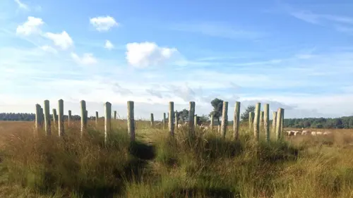
The Regte Heide mixes open heathland, forest paths, and 3,000-year-old landmarks.
Perfect for curious walkers and weekend explorers!
Woodhenge
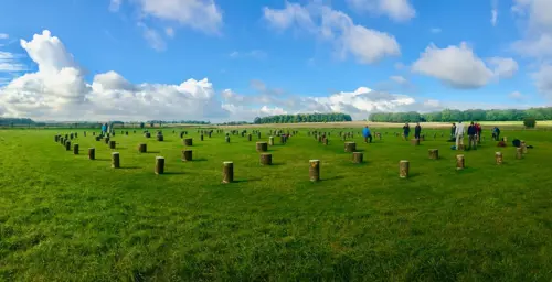
Six rings of ancient posts trace a solstice-aligned circle in open Wiltshire fields.
Step inside the rings and start connecting the ancient dots.
Isterberg
At Isterberg, exposed sandstone cliffs meet woodland and farmland, shaped by geology and centuries of use.
Walk the ridge, climb the tower and enjoy the wide cross-border views.
Kernhem House and Estate
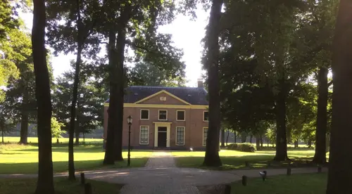
The estate’s grand halls and wooded paths invite both art lovers and nature walkers alike.
Follow the trails, enjoy the gardens and escape from everyday life.
The Luttenberg
Luttenberg’s soft hills lead to forests, open meadows, and local crafts worth stopping for.
Come for the view. Stay for the charm!
House of Viviane (Hotié de Viviane)
The Hôtié de Viviane is a rare Neolithic burial chest on the Rauco heath, high above the Val sans Retour.
Take the forest trail and explore this unusual prehistoric landmark!
Le Val sans Retour
Red schist cliffs, forest trails and Arthurian landmarks bring geology and folklore together in one extraordinary valley.
Take the trail and uncover Brocéliande’s most famous stories!